Pipeline Monitoring
How geospatial technology can help you understand changing ground conditions
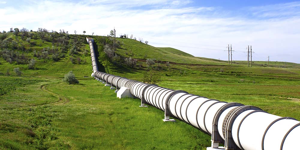
Oil Pipeline Monitoring in Spain
Use high-resolution satellite imagery and near real-time multisource monitoring of the physical world to keep track of what is occurring to valuable infrastructure and focus on activity that may require further investigation, so you can make better and faster decisions.
Monitoring anywhere in the world
Maxar’s high-quality imagery basemaps provide the foundation for monitoring and decision-making, at local and global scales.
Understand what’s happening on the ground
Pipelines often stretch hundreds of miles and are difficult and expensive to monitor for potential damages or encroachments. Maxar offers near real-time multisource monitoring over your area of interest for increased situational awareness on changing ground conditions.
Keep track of your assets
A buffer was created around the pipeline to monitor for activity. Using Maxar’s monitoring service, AWave, customers get automated alerts for their areas of interest, enabling focused investigation and more cost-effective use of resources.
Identify change and human activity
Human activity in the buffer area—based on data from connected devices—triggered an alert in the system. Maxar collected the area to provide an up-to-date view of ground conditions to further investigate what was happening.
Make data-driven decisions
The newly captured image shows a solar farm being constructed over the pipeline buffer zone. These foundation data capabilities enable customers to identify and respond to change as it happens.
Keep up with change
This December 2020 image shows a fully constructed solar farm over the pipeline buffer zone. Stay informed as changes occur with Maxar's end-to-end monitoring capabilities.
Facilitate decision-making with the right foundation
Optical imagery
Maxar's Earth observation constellation offers the most comprehensive suite of commercial satellite imagery, with diversity in resolution, currency, spectral bands and accuracy.
Learn moreImagery basemaps
Maxar imagery basemaps provide a stunning high-resolution and seamless image layer to support mapping, visualization and analytics across the globe.
Learn more
AWave
AWave provides near real-time multisource monitoring of the physical world for nontechnical users.
Learn moreSEE WHAT'S POSSIBLE
Explore our products to see what fits your organization's needs.