Pipeline Monitoring
How geospatial technology can help you understand changing ground conditions
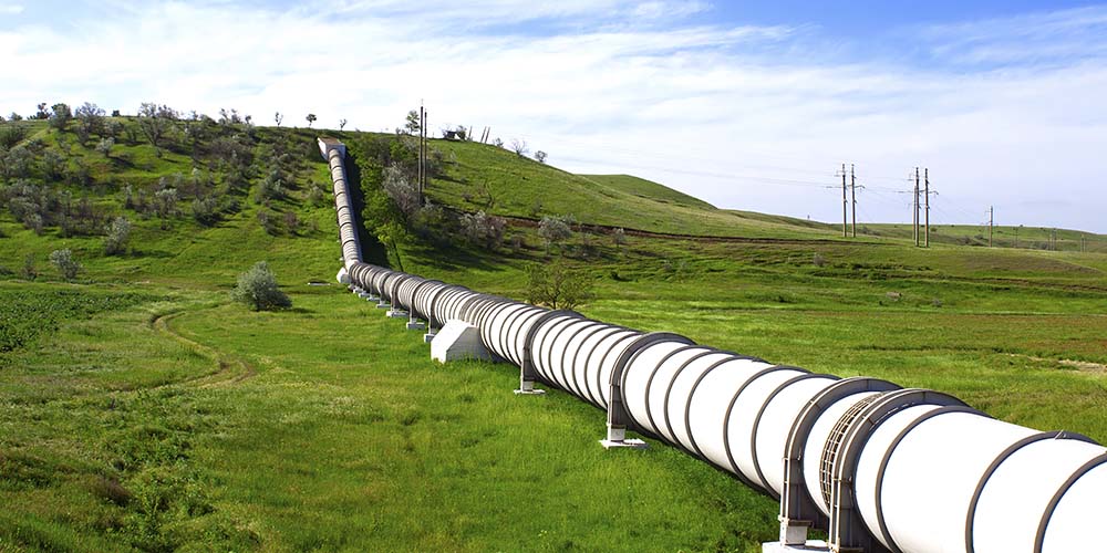
Oil Pipeline Monitoring in Spain
Use high-resolution satellite imagery and near real-time multisource monitoring of the physical world to keep track of what is occurring to valuable infrastructure and focus on activity that may require further investigation, so you can make better and faster decisions.
Facilitate decision-making with the right foundation
Optical imagery
Maxar's Earth observation constellation offers the most comprehensive suite of commercial satellite imagery, with diversity in resolution, currency, spectral bands and accuracy.
Learn moreImagery basemaps
Maxar imagery basemaps provide a stunning high-resolution and seamless image layer to support mapping, visualization and analytics across the globe.
Learn more
AWave
AWave provides near real-time multisource monitoring of the physical world for nontechnical users.
Learn moreSEE WHAT'S POSSIBLE
Explore our products to see what fits your organization's needs.